
Sheet 02 · Services
Every practice, one field team.
Everything we do serves the Kingdom’s mining and water sectors, and the environmental and radiological work that comes with them.
Service 01
Mineral Exploration
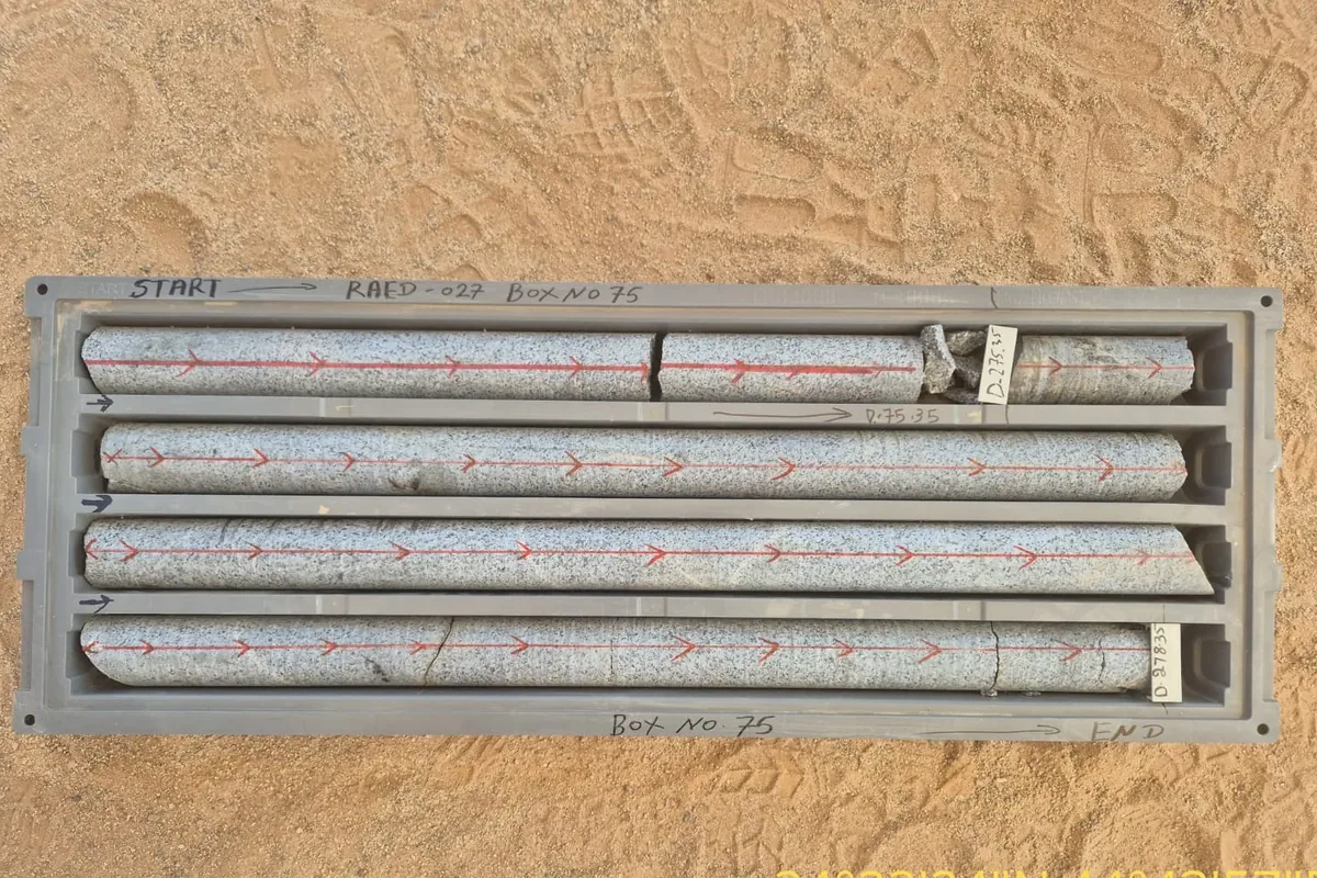
We plan and run exploration programmes: generating targets, mapping the geology, sampling the ground and estimating what it holds, with geology, geochemistry and geophysics interpreted together.
Scope
- Target generation and mineral-system modelling
- Remote sensing and geophysics for exploration targeting
- Geological and structural field mapping
- Regolith mapping and ancient-workings reviews
- Geochemical sampling programmes, logging and QA/QC
- Petrographic services
- Resource estimation, technical audits and valuations
- Project planning, permitting and implementation
- Drilling management and on-site staff training
In the field
- Geological studies — two model mining complexes, Al JoufMinistry of Industry and Mineral Resources
- As-Siham ground magnetic surveyMa’aden Exploration
- Phosphate 3 supplementary fieldwork, Al JalamidSOFRECO
Service 02
Surveys & GIS
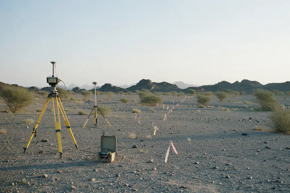
Ground geophysical and geomatic surveys, and the GIS that turns them into decisions: acquisition, processing, databases, cartography and 3D/4D models of the terrain.
Scope
- Magnetic, electrical and electromagnetic surveys
- Ground-penetrating radar and gravity surveys
- Seismic surveys
- Aerial mapping and lidar acquisition
- Aerial and satellite imagery interpretation
- GIS needs assessment, planning and implementation
- Geodatabase design and development
- GIS data development, maintenance, updating and formatting
- Map creation and cartographic design
- Spatial data management and analysis
- 3D/4D terrain modelling
- Hydraulic and hydrological modelling
In the field
- As-Siham ground magnetic surveyMa’aden Exploration
- Groundwater exploration and assessment, Al Majma’ah compoundArabian Castles for General Contracting
- Hydrogeological study, southern AlUlaBRGM
Service 03
Drilling & Well Imaging
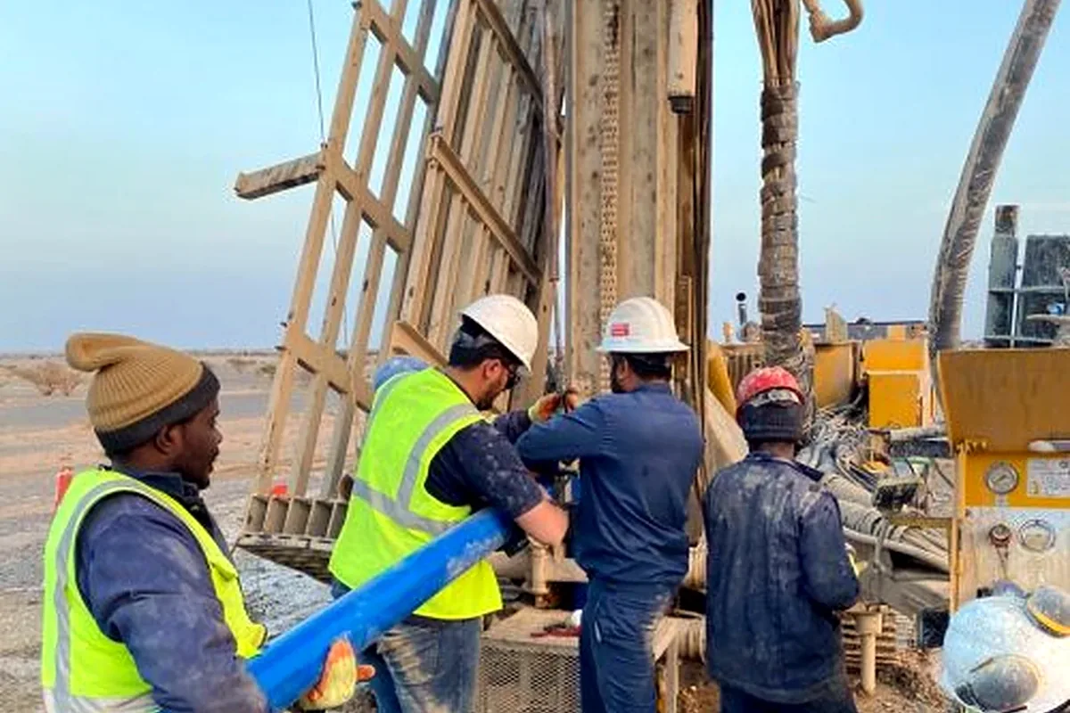
Exploration, water-well and geotechnical drilling with the full downhole record: cuttings and core described, the borehole logged with geophysical tools and imaged with the optical televiewer.
Scope
- Preliminary site assessment
- Rotary, diamond-core and reverse-circulation drilling
- Water-well drilling — air and mud rotary, down-the-hole hammer
- Monitoring-well installation
- Drilling in mine tailings
- Geotechnical and environmental mine-site drilling
- Shallow exploration screening and sampling
- Rock coring and overburden sampling
- Heap-leach sampling and mine-expansion investigations
- Geophysical well logging — natural and spectral gamma, density, caliper
- Optical televiewer imaging
- Video-camera inspection of water wells
- Core logging and borehole data interpretation
In the field
- Wireline logging of the Ministry’s water wellsMinistry of Environment, Water and Agriculture
- Phosphate 3 supplementary fieldwork, Al JalamidSOFRECO
- Mahd open-pit hydrogeology drilling programmeMa’aden Gold and Base Metals
- Water-well drilling and testingArabian Castles for General Contracting
Service 04
Groundwater
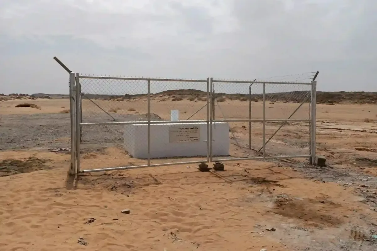
Hydrogeology for water supply, mining and monitoring: locating aquifers, drilling and testing wells, measuring levels and quality, and modelling how the water moves.
Scope
- Groundwater exploration and aquifer assessment
- Geo-electrical surveys (VES and ERT) for aquifer mapping
- Pumping, airlift and slug tests
- Water-level monitoring networks
- Water sampling and quality analysis
- Hydrological and hydraulic studies — catchments and flows
- Flood-risk and drainage-impact assessment
- Design of diversion and retention structures
- Hydrogeological and contaminant-transport modelling
In the field
- Alternative and future water sources in areas of low radioactivityMinistry of Environment, Water and Agriculture
- Hydrogeological works, Ar RjumMa’aden Gold and Base Metals
- Hydrogeological study, Hawiyah prospectGold & Minerals Co.
- Supervision of border monitoring wellsMinistry of Environment, Water and Agriculture
Service 05
Testing & Analysis
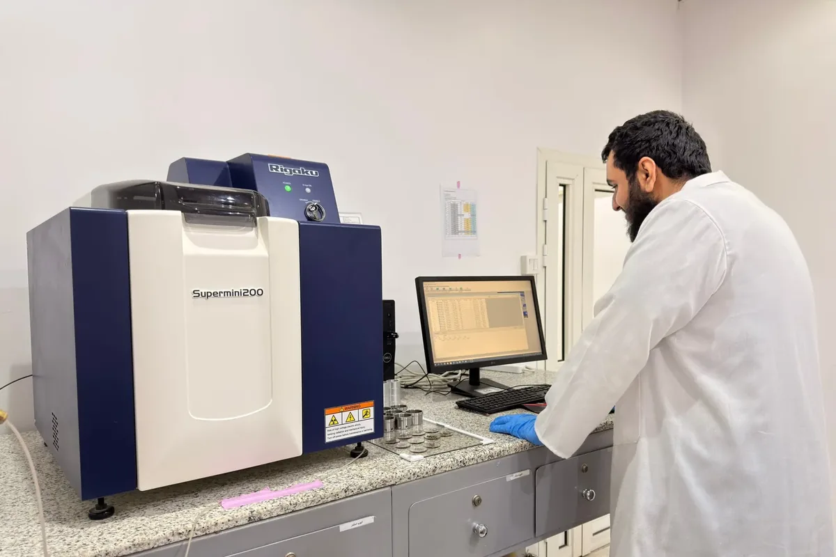
Geochemical, geophysical and radiological testing for the mining and water sectors, including the management and volume reduction of NORM waste.
Scope
- Sampling of water, soil, rock, sludge and aerosols
- Geochemical analysis — XRF, ICP-MS, isotope geochemistry
- Geochemical modelling, and certified reference materials for QA/QC
- Environmental geochemistry — water–rock interaction and heavy metals
- Well logging for groundwater, contamination, geothermal and hydrocarbon studies
- Water quality — chemical, radiological, bacteriological
- Soil characterisation and contamination testing
- Radiological analysis — radium, uranium, thorium, radon
- Spectral-gamma surveys and dose-rate mapping
- NORM investigation, treatment and volume reduction
- Radiological risk assessment and RESRAD dose modelling
In the field
- NORM management servicesSaudi Aramco
- Radiological survey, phosphogypsum siteMa’aden Wa’ad Al Shamal Phosphate Company
- Radioactivity in irrigation water and agricultural productsMinistry of Environment, Water and Agriculture
- Operation and maintenance of central laboratoriesMinistry of Environment, Water and Agriculture
Service 06
Environment & Rehabilitation
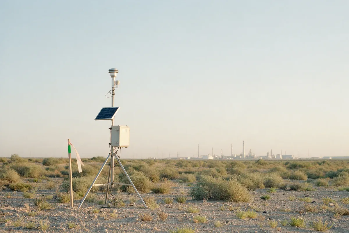
Permit applications, impact assessment and audit, and the plans that return disturbed ground to a stable, safe state.
Scope
- Environmental permit applications and renewals
- Environmental impact assessment
- Environmental audits
- Environmental management plans and reporting
- Rehabilitation plans for degraded sites
- Contaminated-soil treatment
- Environmental consulting for mining and industry
In the field
- Waste management in water-treatment plantsMinistry of Environment, Water and Agriculture
- NORM volume reduction, Dhahran water utilitySaudi Aramco
- Supplementary radioactivity study, AlUlaBRGM
Service 07
Training
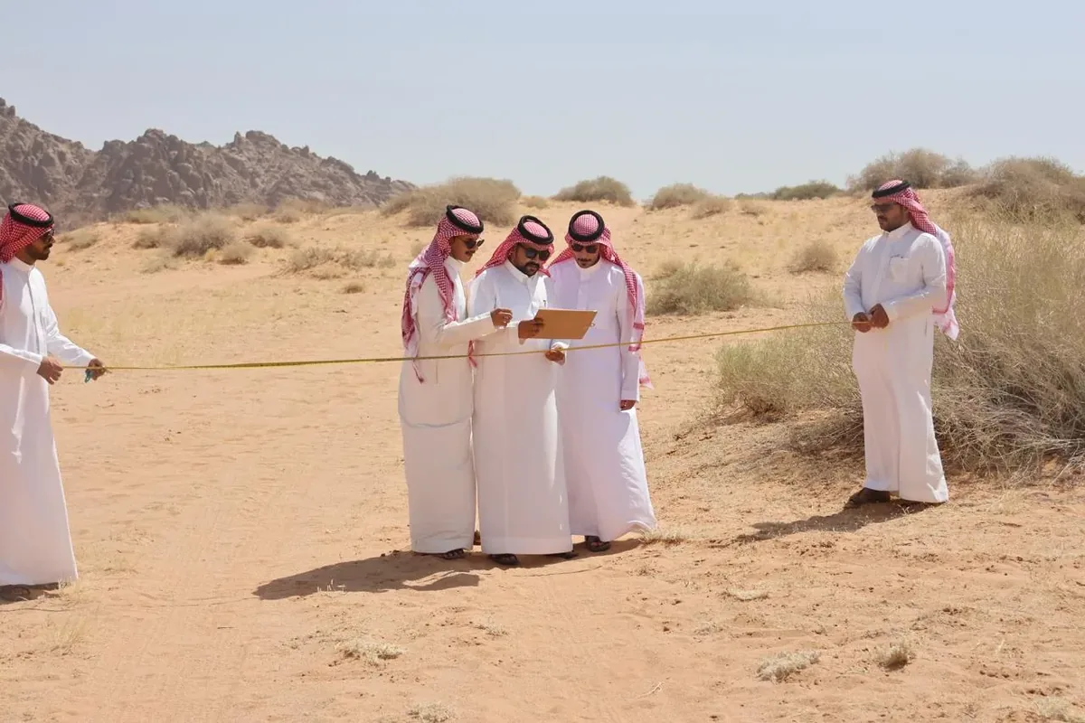
Courses built by practitioners — field mapping, geophysical processing and inversion, well logging and GIS — delivered in partnership with international geoscience institutions, online or face to face, and tailored to each organisation.
Scope
- Basic concepts of geology; geology in the field
- Field investigation — boreholes, surveys and trenches
- Superficial deposits and their interaction with human activity
- Rock alteration
- Geological maps — use, design, limitations and insights
- Engineering geology and geotechnics of the subsurface
- Geology and economics of mineral resources
- Analytical characterisation of rocks and minerals
- Applying geophysical methods
- 2D and 3D electrical resistivity — acquisition, processing, interpretation
- Electromagnetic data — acquisition, processing and interpretation
- 2D and 3D GPR processing
- Gravity and magnetic data — processing and modelling
- Oasis montaj (Geosoft) for geophysical and geological data
- Basics of geophysical well logging and borehole imaging
- Joint inversion of ERT and TEM data sets
- Remote sensing applied to geology and land movement
- Geostatistics for interpolation in geosciences
- Surveying with GNSS; advanced network adjustment and geoid modelling
- Advanced GIS processing and applications
- Geoscientific document management
In the field
- Training in geophysical log interpretationUNDP programme at the Ministry of Environment, Water and Agriculture
- Medical-geology mapping, Al Madinah and HailSaudi Geological Survey
Planning a survey, a well or a study?
Tell us about the ground and the question. Our field team will come back with a scope, a method and a programme.