ASBAR Geosciences · Riyadh
We read the ground. Every layer of it. Geophysical and geotechnical consulting for the Kingdom’s mining and water sectors — exploration, surveys, drilling, groundwater, analysis, environment and training.
ASBAR is a Saudi geoscience consultancy. We go to the field, measure what the ground holds, and report it plainly — so the Kingdom’s mining and water projects are built on evidence.
Services
Service 01 / 07 Layer · Target zones
Mineral Exploration
Targets generated and tested, resources estimated — the full exploration cycle, run in the field.
Target generation and mineral-system modelling Geological and structural field mapping Geochemical sampling programmes and QA/QC Resource estimation, audits and valuations Service details
Service 02 / 07 Layer · Survey lines
Surveys & GIS
The ground measured, gridded and mapped — geophysics and geomatics in one team.
Magnetic, electrical, electromagnetic and GPR surveys Aerial mapping and lidar acquisition Geodatabases, cartography and spatial analysis 3D/4D terrain, hydraulic and hydrological models Service details
Service 03 / 07 Layer · Borehole strip logs
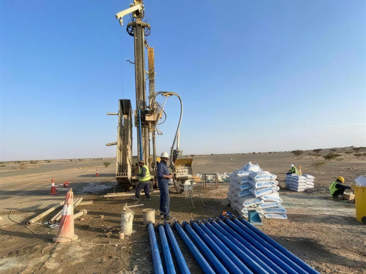
Drilling & Well Imaging
Every borehole is sampled, logged and interpreted.
Rotary, diamond-core and reverse-circulation drilling Water wells and monitoring-well installation Geophysical well logging and optical televiewer imaging Core logging and borehole interpretation Service details
Service 04 / 07 Layer · Water table
Groundwater
Finding, testing and managing the Kingdom’s groundwater.
Groundwater exploration and aquifer assessment Pumping, airlift and slug tests Water-level monitoring networks Hydrological and flood-risk studies Service details
Service 05 / 07 Layer · Sampling grid
Testing & Analysis
Soil, water and radiation — measured in the field and the laboratory.
Geochemistry — XRF, ICP-MS and isotope analysis Water and soil quality testing Radiological analysis and NORM management Spectral-gamma surveys and radiological risk assessment Service details
Service 06 / 07 Layer · Site rehabilitation
Environment & Rehabilitation
Environmental studies and rehabilitation for mining and industry.
Environmental permit applications and impact assessment Environmental audits and management plans Rehabilitation plans for degraded sites Contaminated-soil treatment Service details
Service 07 / 07 Layer · Reading the map
Training
Specialist programmes in geology and mining, delivered with international partners.
Field geology and geological mapping Geophysical methods, acquisition to interpretation Well logging and borehole imaging Remote sensing, GNSS and GIS Service details
01 Mineral Exploration02 Surveys & GIS03 Drilling & Well Imaging04 Groundwater05 Testing & Analysis06 Environment & Rehabilitation07 Training
Our own teams, on Saudi ground.
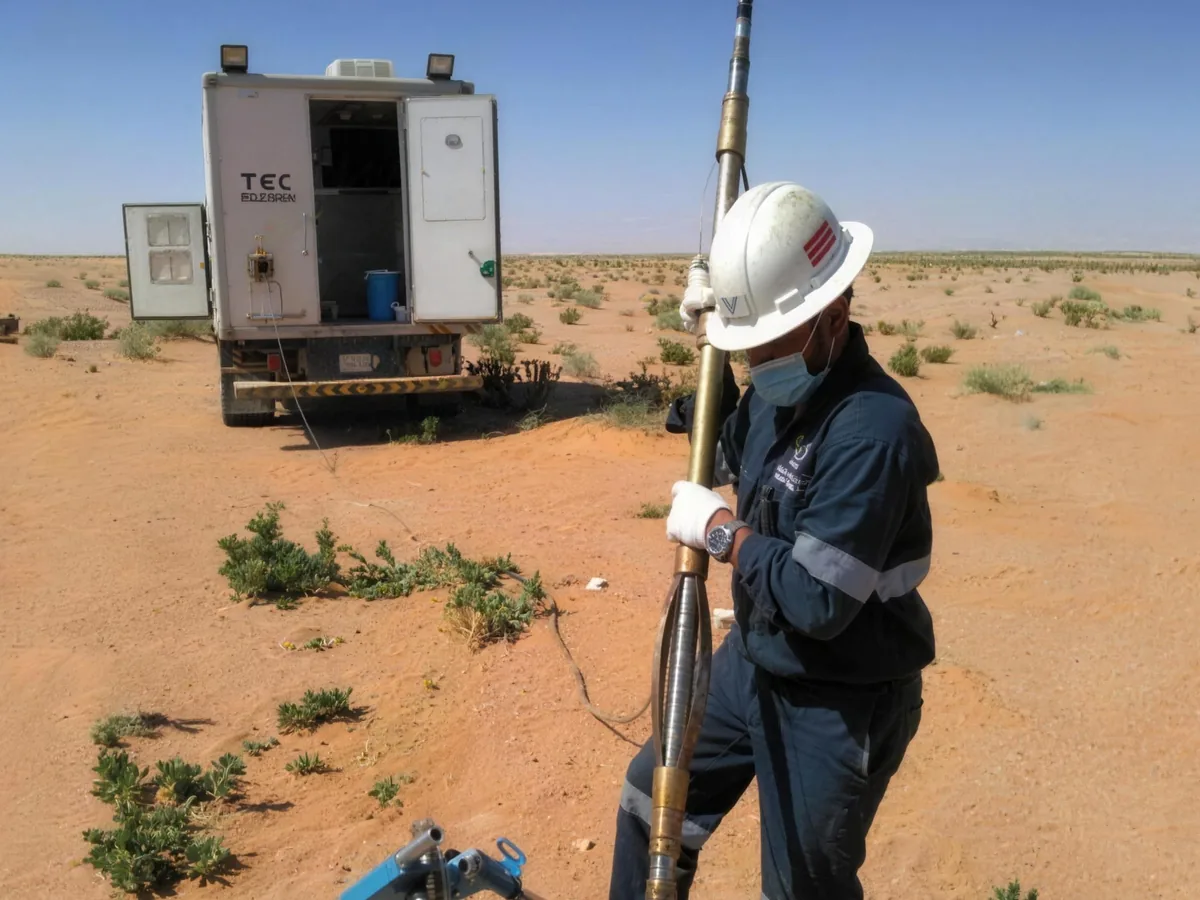
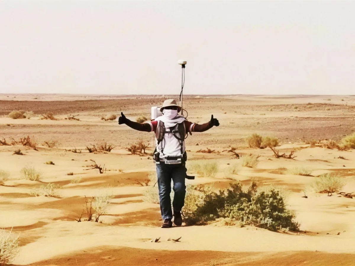
Logging units, survey crews and drilling supervision, run by ASBAR’s own field teams across the Kingdom.
Wireline logging at a water well GNSS traverse, open desert Monitoring-well installation More from the field
Work across the Kingdom.
Selected projects for ministries, national companies and international institutions — in the phosphate fields of the north, the gold belts of the Arabian Shield and the Eastern Province.
Arabian Shield
AlUla Al Jouf Al Jalamid Wa’ad Al Shamal Dhahran Riyadh Al Majma’ah Mahd Ad Dahab
Project sites
Select a site on the map
Each pin opens the work delivered there. Programmes that run across the Kingdom, and prospects in the Arabian Shield, are grouped below.
Kingdom-wide programmes Arabian Shield prospects Other sites
AlUla Al Jouf Al Jalamid Wa’ad Al Shamal Dhahran Riyadh Al Majma’ah Mahd Ad Dahab
Explore selected projects
Chosen by ministries and mine operators.
Government ministries, national mining and energy companies, and international geoscience institutions.
Planning a survey, a well or a study?
Tell us about the ground and the question. Our field team will come back with a scope, a method and a programme.